
S15-Sunday Walk-(8 miles)-30th August 2026
Start Time: 10.00am Approx Finish Time: 2.30pm
Number of Stiles: 6
Walk Route: Forhill > Upper Bittell Reservoir > Hopwood > Wast Hills > Forhill.
Distance: 8 miles Ascent: 550 feet
Walk Description: A very varied walk along paths and quiet country lanes encompassing fields, a canal and the Upper Bittell Reservoir. The walk is undulating, but with no steep ascents. There are a couple of places with short sets of steps down a bank.
…………………………………….
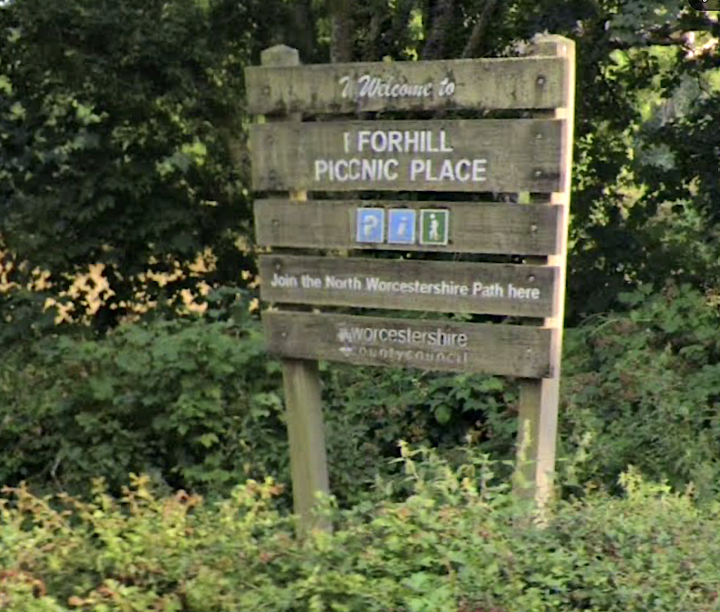
Location of Parking: Forhill Picnic Site, Icknield Street, Near Wythall.
Post Code for Parking: B38 0EH
Parking Permission: Not required-This is a public car park.
Parking Charge: No.
Directions to Parking: Head past Earlswood Lakes and continue on Norton Lane to Wythall Station. Bear left onto Station Road to a roundabout where the A435 crosses. Take the second exit Middle Lane. At the next roundabout take the second exit and then take the 1st left (Clewshaw Lane) just before a shop. Pass a road to the left to Kings Norton Golf Course and very shortly after, turn left into Icknield Street. The entrance to the Forhill Picnic Site is about 30 yards along on the left, opposite the Peacock Inn.
Alternatively, you can take the M42 to the A435.
Approx driving distant from Solihull: 8 miles
………………………………………….
Breaks: Morning, Lunch, Pub-At the end of the walk.
Toilets: At the end of the walk.
Related Events